


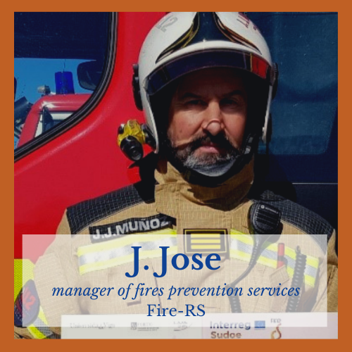
FIRE-RS
Wildfire Picosatellite Constellation & UAVs Remote Sensing: Active fire mapping and management

Axis 4 Combating climate change
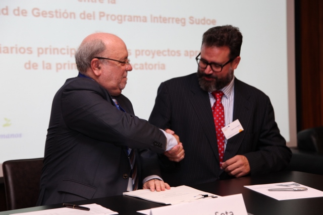
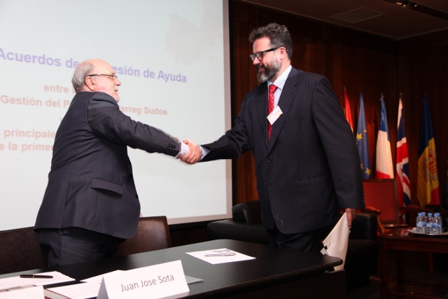
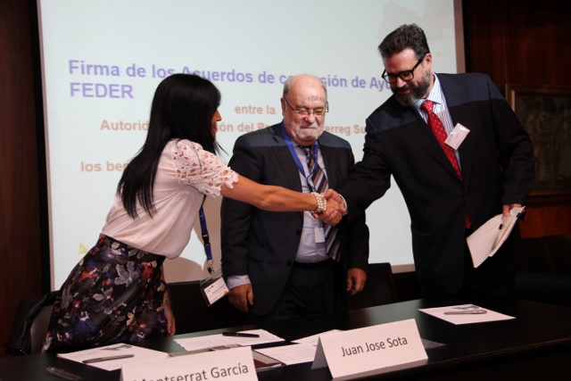
Objective 5b1 Improving the coordination and effectiveness of prevention, disasters management and rehabilitation tools of damaged areasImage gallery

- Forest fires
2. Universidade do Porto. Faculdade de Engenharia. Laboratório de Sistemas e Tecnologia Subaquática PT
3. Centre National de la Recherche Scientifique. Délégation Midi-Pyrénées. Laboratoire d'Analyse et d'Architecture des Systèmes FR
Project summary
One of the greatest threats and environmental disasters that occur annually in south-west Europe is that of forest fires. FIRE-RS proposes to reduce their impact by providing emergency agencies and coordination centres with an innovative tool for the early detection and the efficient management of fires. During the project a multidisciplinary and international team will create a platform which by the use of new technologies will give very precise information almost in real time on the perimeter of the fire, its location, and the existing danger.
Participating regions
- Galicia
- Midi-Pyrénées
- Norte
Estado de avance del proyecto
FIRE RS is a project that allows to prevent, detect and map forest fires. For this, the project is based on a sustainable and innovative technology that allows remote sensing via pico-satellites and UAVs (a tool used in the strategic plans of forest fires).
The FIRE RS methodology is based on:
- Long range and low cost infrared terrestrial sensors;
- Emergency UAVs that allow accurate mapping of fires and real-time information;
- Data processing through a forest fire management software;
- Psycho satellite detection.
Through these elements, the project offers a control software for all devices to act, detect and prevent forest fires that guarantees that emergency services receive clearer, more precise and concise information on the progress and status of a fire.
All the methodology used is applicable to other natural disasters such as floods and can cover a wide geographical area. The latter has been integrated into emergency equipment for forest fire management in the regions where the project has been developed.